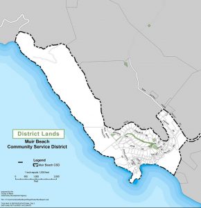
Overview: The MBCSD owns and manages eight District properties of varying sizes, shapes, and uses, that are located and scattered throughout the District. Some properties are used primarily for the District’s Water system and its infrastructure, while others are available for recreation as part of the District’s Park.
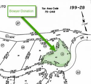
Asessors Parcel – Bowyer Donation
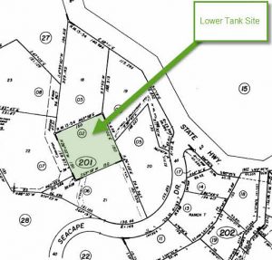
Assessors Parcel – Lower Tank Site Pelican Inn CSD Survey
Record (1965) Seacape Park Parcels
Record 2002 Frank Valley 2002 Maps 37
Record 2014 Pelican Parcel ROS 2011-Maps-62
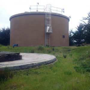
Overlook Tank: The Overlook property is so named because it is located at the upper most westerly corner of the District near what is known as the Muir Beach Overlook. The largest of the District’s 200,000 gallon concrete water tank is located on the property. The property still contains the concrete pad from where the old upper redwood water tank was located and the property is now the future site for the MBVFD firehouse.
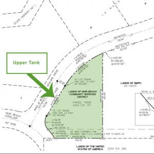
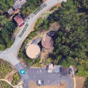
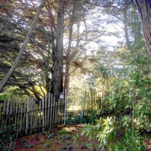
Overlook Park: This is the upper-most part of the MBCSD Park which consists of three continuous sections of land which originally connected the Muir Beach Community Center to the Muir Beach Overlook. This section includes a 25′ x 285′ strip of land that starts on Seacape Drive just west of the Starbuck Drive intersection and heads west towards the Muir Beach Overlook. The parcel is overgrown with trees and heavy brush, which is not currently maintained by the District, and does not connect to the Overlook due to security concerns. There is a gated fence and sign that identifies the park.
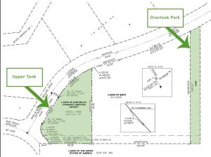
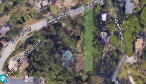
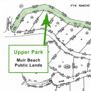
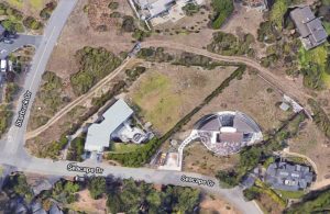
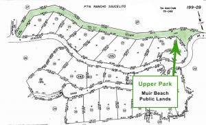
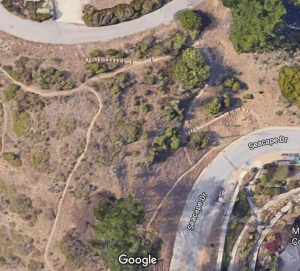
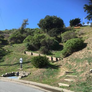
Upper Park: This is the middle section of the three sections that make up the District Park. This section is a 50’ wide strip of land in the upper Seacape subdivision that starts on Seacape Drive across the street from the Community Center, heads up the stairs, then runs up along the top of the ridge between Seacape Drive and Starbuck Drive and ends where Starbuck Drive intersects Seacape Drive. It is used as a walking trail with ocean and scenic views.
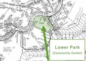
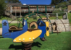
Lower Park: This is the lower-most section of the original Seacape Subdivision Park. It is now where the Muir Beach Community Center and Playground are located. The Community Center is the hub of the District and community activities hosting Board meetings and civic activities, community and social events, local classes, and is also rented out for public and private events.
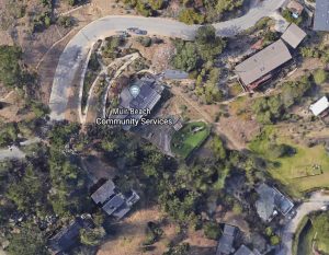

Bowyer Donation: This piece of open land is located across the street, and slightly due west from the Community Center, and lays situated between Seacape Drive and the Upper Park. It was generously donated by the Bowyer family to the District to be kept as Park and open space.
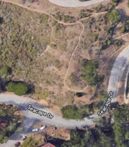
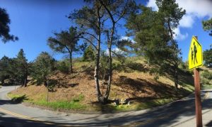
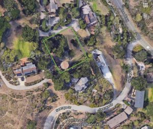
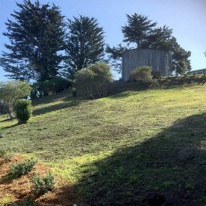
Lower Tank: This property is located just below lower Starbuck Drive. It currently is the location of the District’s smaller 100,000 gallon redwood water tank which sits at the uppermost South-westerly corner of the property. It is currently left as open space to maintain a fire protection buffer for the redwood tank.
Parcel located in the Pelican Inn parking lot: This is a very small ‘postage stamp’ size lot that was the location of an abandoned well site.
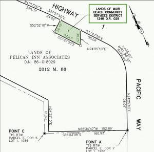
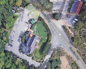
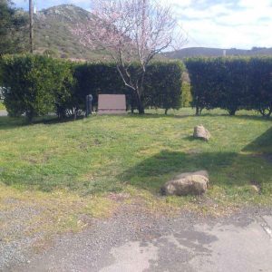
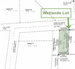
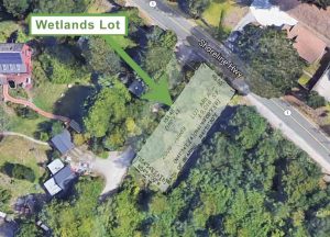
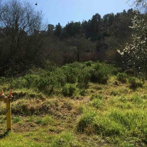
Wetland’s Parcel: This property sits alongside Highway 1 next to Redwood Creek just north of the Pelican Inn and NPS properties. It was originally purchased by the MBCSD as the site for the new MBVFD firehouse but was ultimately deemed to be too environmentally sensitive a site to build.
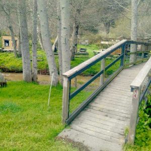
Current Well Site: The property is just north of Muir Beach along Frank Valley Road and is currently used by the MBCSD for both the water system and recreation. Redwood Creek currently runs through the middle of the property so the utility bridge allows for access to both the 2002 and 2008 Well sites and BBQ picnic grounds. The Pump house, Water Office, and Storage sheds are all located on the east side of the property along with the Volleyball court. The area is protected at all times by surveillance cameras and a security gate. The property is surrounded by NPS and State Parks lands on all sides.
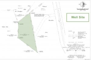
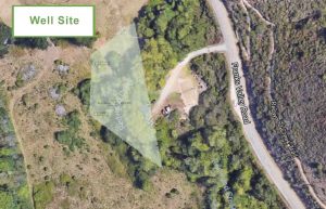
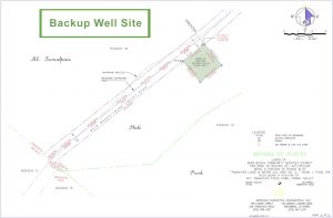
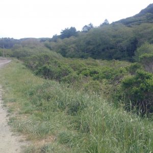
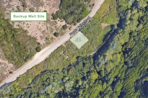
Back-up Well-site: A small overgrown patch of land farther north up Frank Valley Road that was originally to be used for a replacement well if ever needed. It is currently covered in stickery brambles and is not being used for recreation by the District.
